
Map of Indonesia
Republic of Indonesia
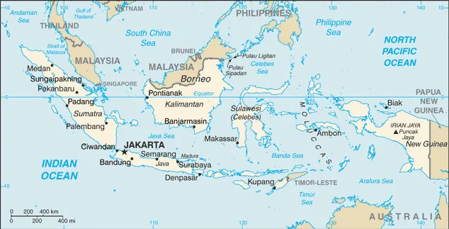
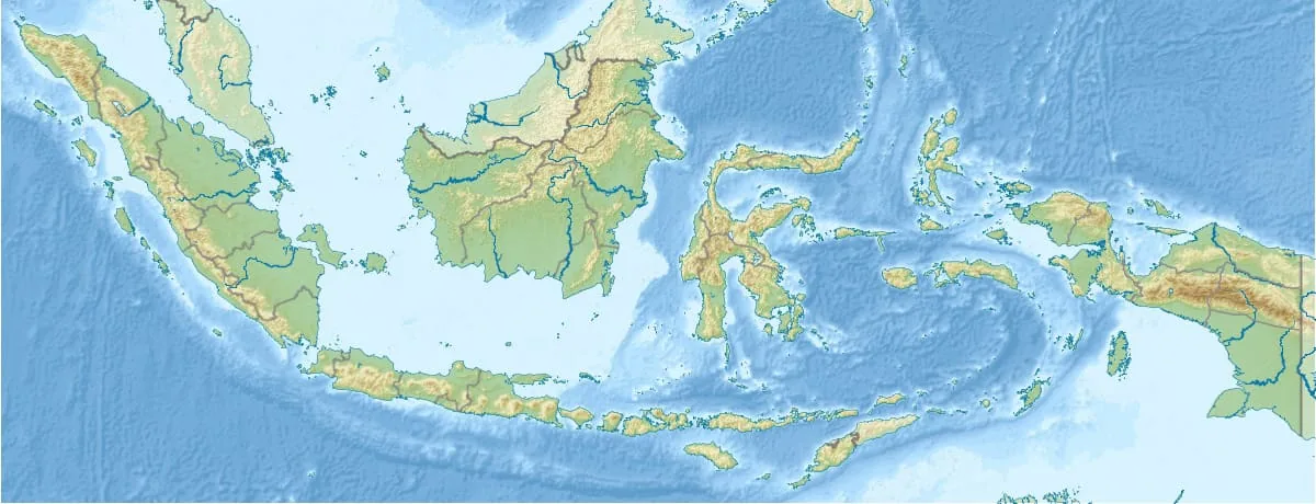
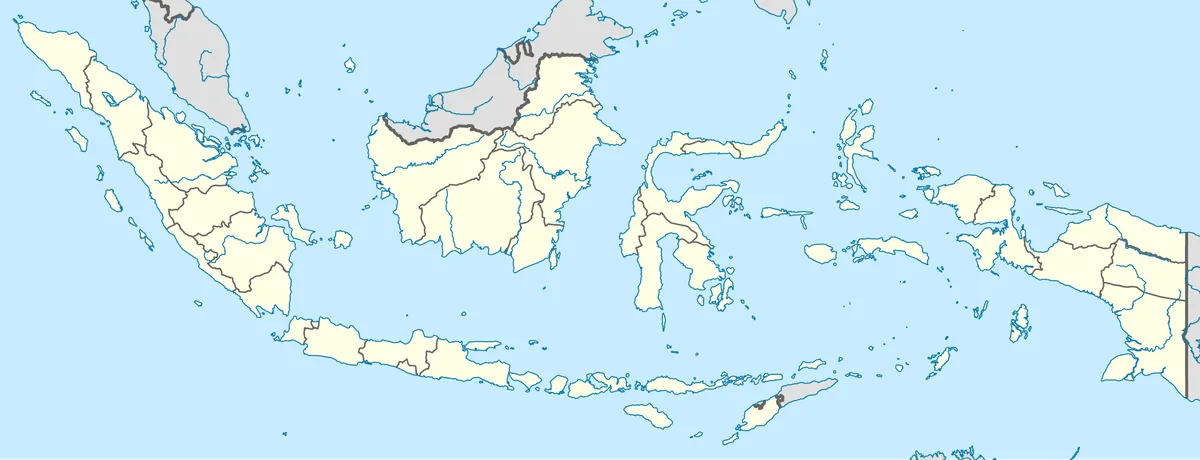
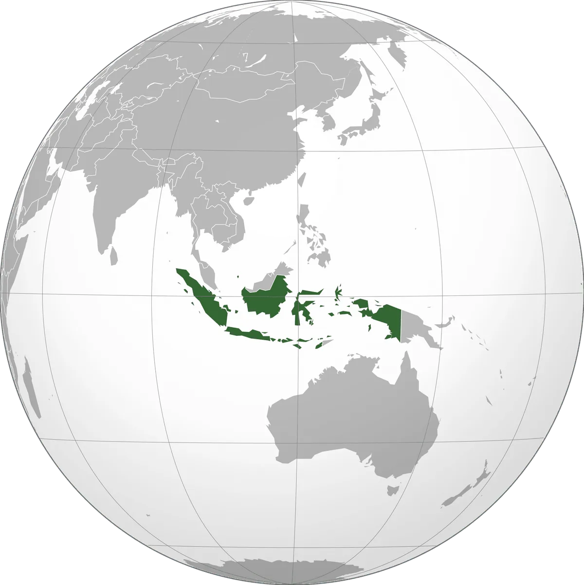
Indonesia is located in Southeast Asia. Below you can see where Indonesia sits on the map, its national outline, and an interactive map you can pan and zoom, centered on the capital, Jakarta.
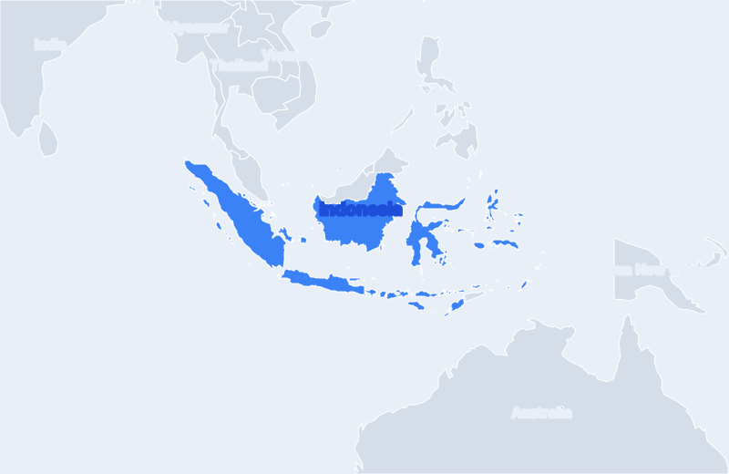
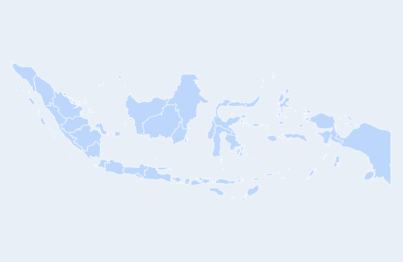
Loading interactive map of Indonesia…
Map data © OpenStreetMap contributors
Administrative divisions of Indonesia
Indonesia is divided into 33 provinces.
Show all 33 provinces
- Aceh
- Bali
- Bangka-Belitung
- Banten
- Bengkulu
- Gorontalo
- Jakarta Raya
- Jambi
- Jawa Barat
- Jawa Tengah
- Jawa Timur
- Kalimantan Barat
- Kalimantan Selatan
- Kalimantan Tengah
- Kalimantan Timur
- Kepulauan Riau
- Lampung
- Maluku
- Maluku Utara
- Nusa Tenggara Barat
- Nusa Tenggara Timur
- Papua
- Papua Barat
- Riau
- Sulawesi Barat
- Sulawesi Selatan
- Sulawesi Tengah
- Sulawesi Tenggara
- Sulawesi Utara
- Sumatera Barat
- Sumatera Selatan
- Sumatera Utara
- Yogyakarta
Administrative boundaries and names from Natural Earth (public domain); they may lag recent reorganizations.
Geography of Indonesia
- Continent
- Asia
- Region
- Southeast Asia
- Area
- 1,904,569 km²
- Coordinates
- -0.79, 113.92
- Highest point
- Puncak Jaya (4,884 m)
- Land borders
- 3
Bordering countries: Malaysia, Papua New Guinea, Timor-Leste.