
Map of Timor-Leste
Democratic Republic of Timor-Leste
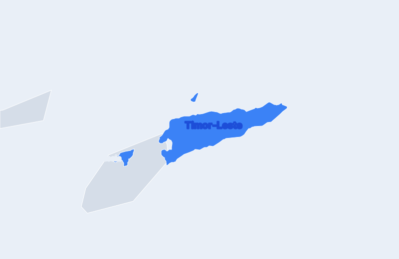
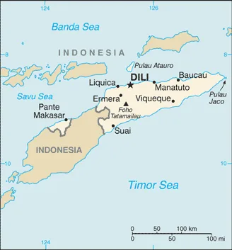
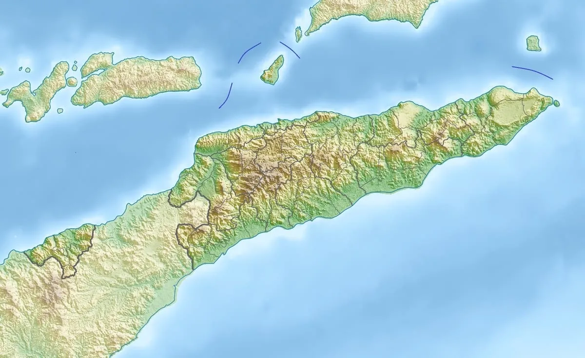
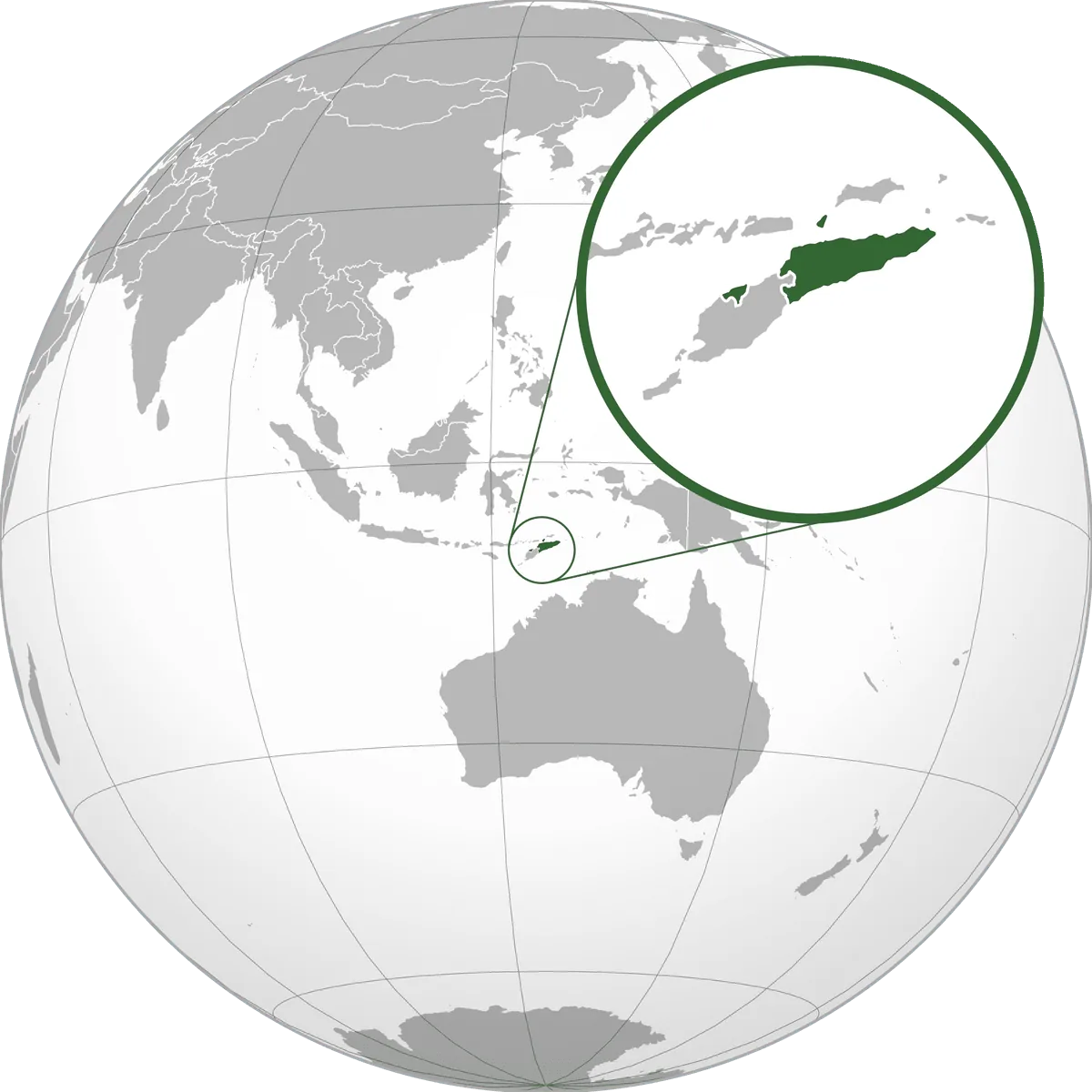
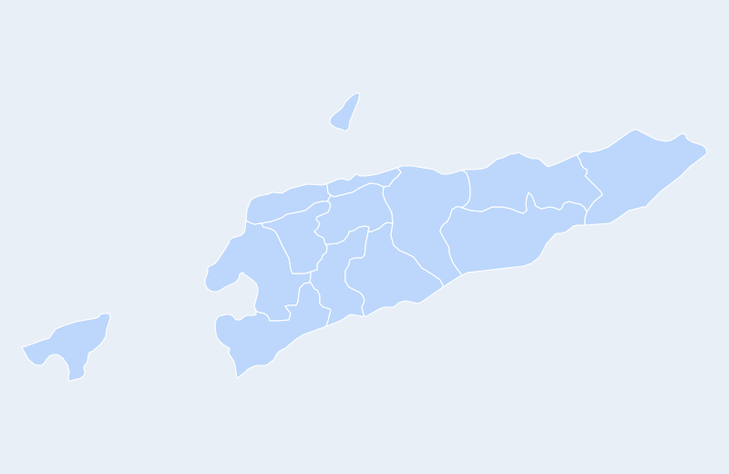
Timor-Leste is located in Southeast Asia. Below you can see where Timor-Leste sits on the map, its national outline, and an interactive map you can pan and zoom, centered on the capital, Dili.
Loading interactive map of Timor-Leste…
Map data © OpenStreetMap contributors
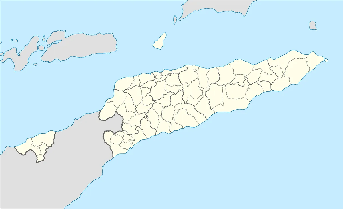
Administrative divisions of Timor-Leste
Timor-Leste is divided into 13 district|regencieses.
Show all 13 district|regencieses
- Aileu
- Ainaro
- Ambeno
- Baucau
- Bobonaro
- Cova Lima
- Dili
- Ermera
- Lautém
- Liquica
- Manatuto
- Manufahi
- Viqueque
Administrative boundaries and names from Natural Earth (public domain); they may lag recent reorganizations.
Where is Timor-Leste?
Timor-Leste lies in Southeast Asia. Its geographic centre is at about 8.87° S, 125.73° E, and the capital, Dili, is at 8.55° S, 125.58° E.
With 14,874 km², it is the 38th-largest of the 46 countries in Asia — about 252 times the size of Manhattan (59 km²).
Timor-Leste lies entirely in the Southern Hemisphere.
Neighbouring countries: Indonesia.
Geography of Timor-Leste
- Continent
- Asia
- Region
- Southeast Asia
- Area
- 14,874 km²
- Geographic centre
- 8.87° S, 125.73° E
- Capital (Dili)
- 8.55° S, 125.58° E
- Size rank in Asia
- 38 of 46
- Highest point
- Mount Ramelau (2,963 m)
- Land borders
- 1
Bordering countries: Indonesia.