
Map of the United Kingdom
United Kingdom of Great Britain and Northern Ireland
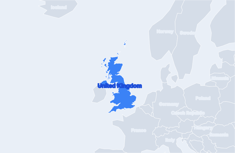
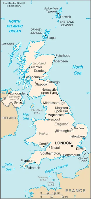
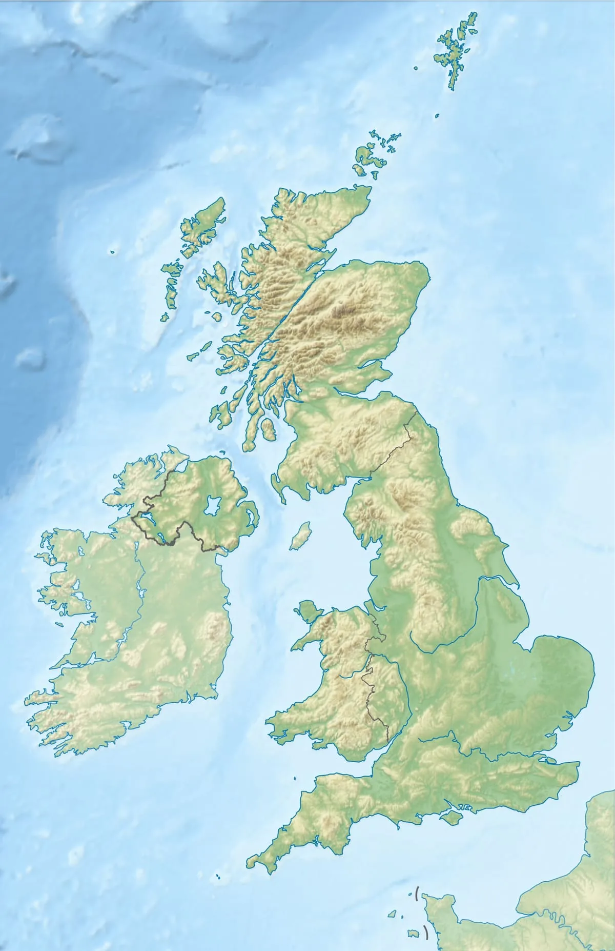
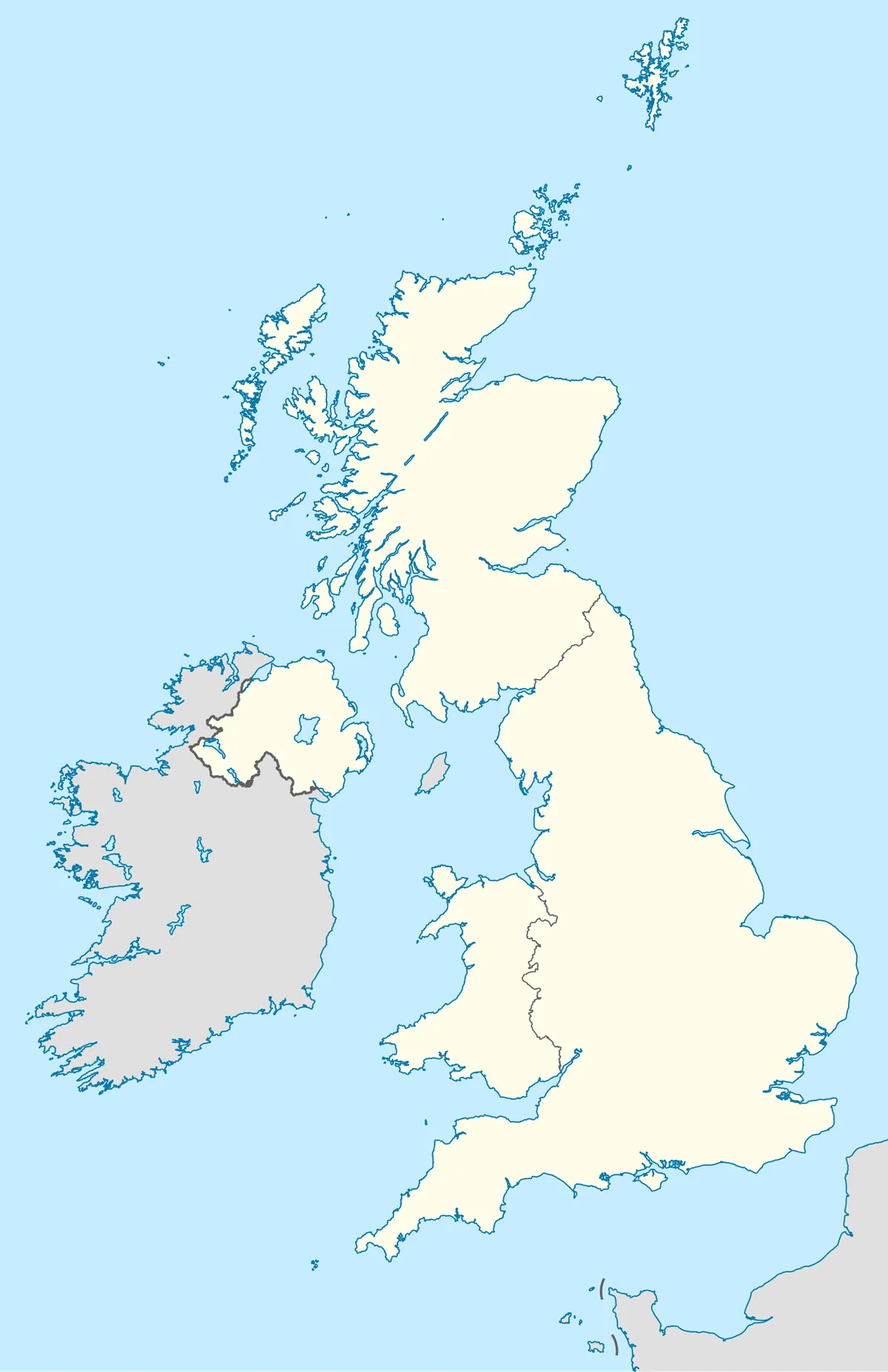
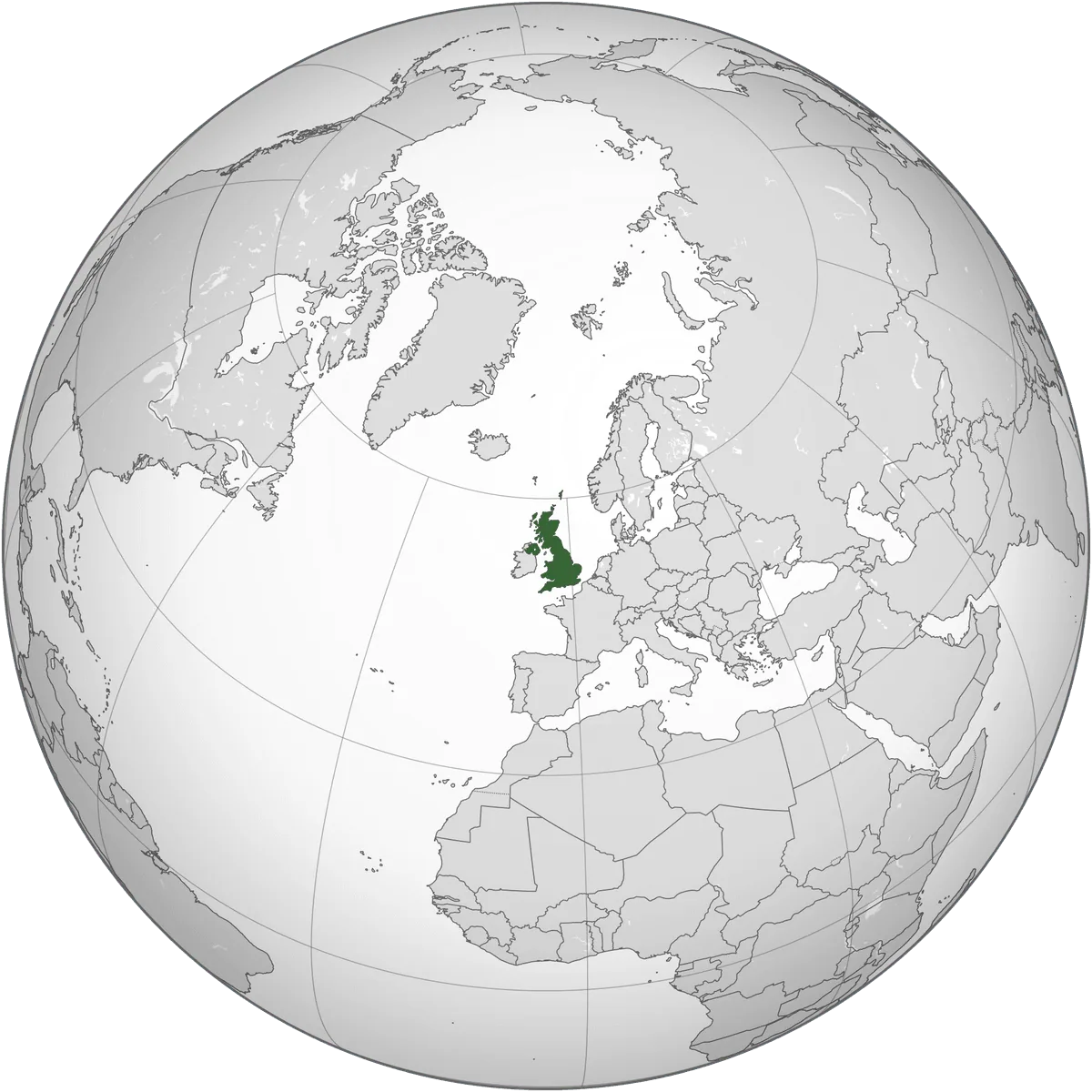
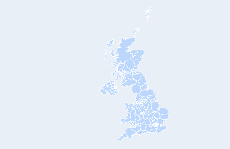
The United Kingdom is located in Northern Europe. Below you can see where the United Kingdom sits on the map, its national outline, and an interactive map you can pan and zoom, centered on the capital, London.
Loading interactive map of United Kingdom…
Map data © OpenStreetMap contributors
Administrative divisions of the United Kingdom
The United Kingdom is divided into 232 unitary authorities.
Show all 232 unitary authorities
- Aberdeen
- Aberdeenshire
- Anglesey
- Angus
- Antrim
- Ards
- Argyll and Bute
- Armagh
- Ballymena
- Ballymoney
- Banbridge
- Barking and Dagenham
- Barnet
- Barnsley
- Bath and North East Somerset
- Bedford
- Belfast
- Bexley
- Birmingham
- Blackburn with Darwen
- Blackpool
- Blaenau Gwent
- Bolton
- Bournemouth
- Bracknell Forest
- Bradford
- Brent
- Bridgend
- Brighton and Hove
- Bristol
- Bromley
- Buckinghamshire
- Bury
- Caerphilly
- Calderdale
- Cambridgeshire
- Camden
- Cardiff
- Carmarthenshire
- Carrickfergus
- Castlereagh
- Central Bedfordshire
- Ceredigion
- Cheshire East
- Cheshire West and Chester
- City
- Clackmannanshire
- Coleraine
- Conwy
- Cornwall
- Coventry
- Craigavon
- Croydon
- Cumbria
- Darlington
- Denbighshire
- Derby
- Derbyshire
- Derry
- Devon
- Doncaster
- Dorset
- Down
- Dudley
- Dumfries and Galloway
- Dundee
- Dungannon
- Durham
- Ealing
- East Ayrshire
- East Dunbartonshire
- East Lothian
- East Renfrewshire
- East Riding of Yorkshire
- East Sussex
- Edinburgh
- Eilean Siar
- Enfield
- Essex
- Falkirk
- Fermanagh
- Fife
- Flintshire
- Gateshead
- Glasgow
- Gloucestershire
- Greenwich
- Gwynedd
- Hackney
- Halton
- Hammersmith and Fulham
- Hampshire
- Haringey
- Harrow
- Hartlepool
- Havering
- Herefordshire
- Hertfordshire
- Highland
- Hillingdon
- Hounslow
- Inverclyde
- Isle of Wight
- Isles of Scilly
- Islington
- Kensington and Chelsea
- Kent
- Kingston upon Hull
- Kingston upon Thames
- Kirklees
- Knowsley
- Lambeth
- Lancashire
- Larne
- Leeds
- Leicester
- Leicestershire
- Lewisham
- Limavady
- Lincolnshire
- Lisburn
- Liverpool
- Luton
- Magherafelt
- Manchester
- Medway
- Merseyside
- Merthyr Tydfil
- Merton
- Mid Ulster
- Middlesbrough
- Midlothian
- Milton Keynes
- Monmouthshire
- Moray
- Moyle
- Neath Port Talbot
- Newcastle upon Tyne
- Newham
- Newport
- Newry and Mourne
- Newtownabbey
- Norfolk
- North Ayshire
- North Down
- North East Lincolnshire
- North Lanarkshire
- North Lincolnshire
- North Somerset
- North Tyneside
- North Yorkshire
- Northamptonshire
- Northumberland
- Nottingham
- Nottinghamshire
- Oldham
- Omagh
- Orkney
- Oxfordshire
- Pembrokeshire
- Perthshire and Kinross
- Peterborough
- Plymouth
- Poole
- Portsmouth
- Powys
- Reading
- Redbridge
- Redcar and Cleveland
- Renfrewshire
- Rhondda, Cynon, Taff
- Richmond upon Thames
- Rochdale
- Rotherham
- Royal Borough of Windsor and Maidenhead
- Rutland
- Salford
- Sandwell
- Scottish Borders
- Sefton
- Sheffield
- Shetland Islands
- Shropshire
- Slough
- Solihull
- Somerset
- South Ayrshire
- South Gloucestershire
- South Lanarkshire
- South Tyneside
- Southampton
- Southend-on-Sea
- Southwark
- Staffordshire
- Stirling
- Stockport
- Stockton-on-Tees
- Stoke-on-Trent
- Strabane
- Suffolk
- Sunderland
- Surrey
- Sutton
- Swansea
- Swindon
- Tameside
- Telford and Wrekin
- Thurrock
- Torbay
- Torfaen
- Tower Hamlets
- Trafford
- Vale of Glamorgan
- Wakefield
- Walsall
- Waltham Forest
- Wandsworth
- Warrington
- Warwickshire
- West Berkshire
- West Dunbartonshire
- West Lothian
- West Sussex
- Westminster
- Wigan
- Wiltshire
- Wokingham
- Wolverhampton
- Worcestershire
- Wrexham
- York
Administrative boundaries and names from Natural Earth (public domain); they may lag recent reorganizations.
Where is the United Kingdom?
The United Kingdom lies in Northern Europe. Its geographic centre is at about 55.38° N, 3.44° W, and the capital, London, is at 51.51° N, 0.13° W.
With 243,610 km², it is the 11th-largest of the 47 countries in Europe.
Its main territory lies in the Northern Hemisphere, though overseas territories extend across the equator.
Geography of the United Kingdom
- Continent
- Europe
- Region
- Northern Europe
- Area
- 243,610 km²
- Geographic centre
- 55.38° N, 3.44° W
- Capital (London)
- 51.51° N, 0.13° W
- Size rank in Europe
- 11 of 47
- Highest point
- Ben Nevis (1,345 m)
- Land borders
- 2
Bordering countries: Ireland, Spain (Gibraltar).