Map of Tunisia
Tunisian Republic
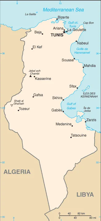
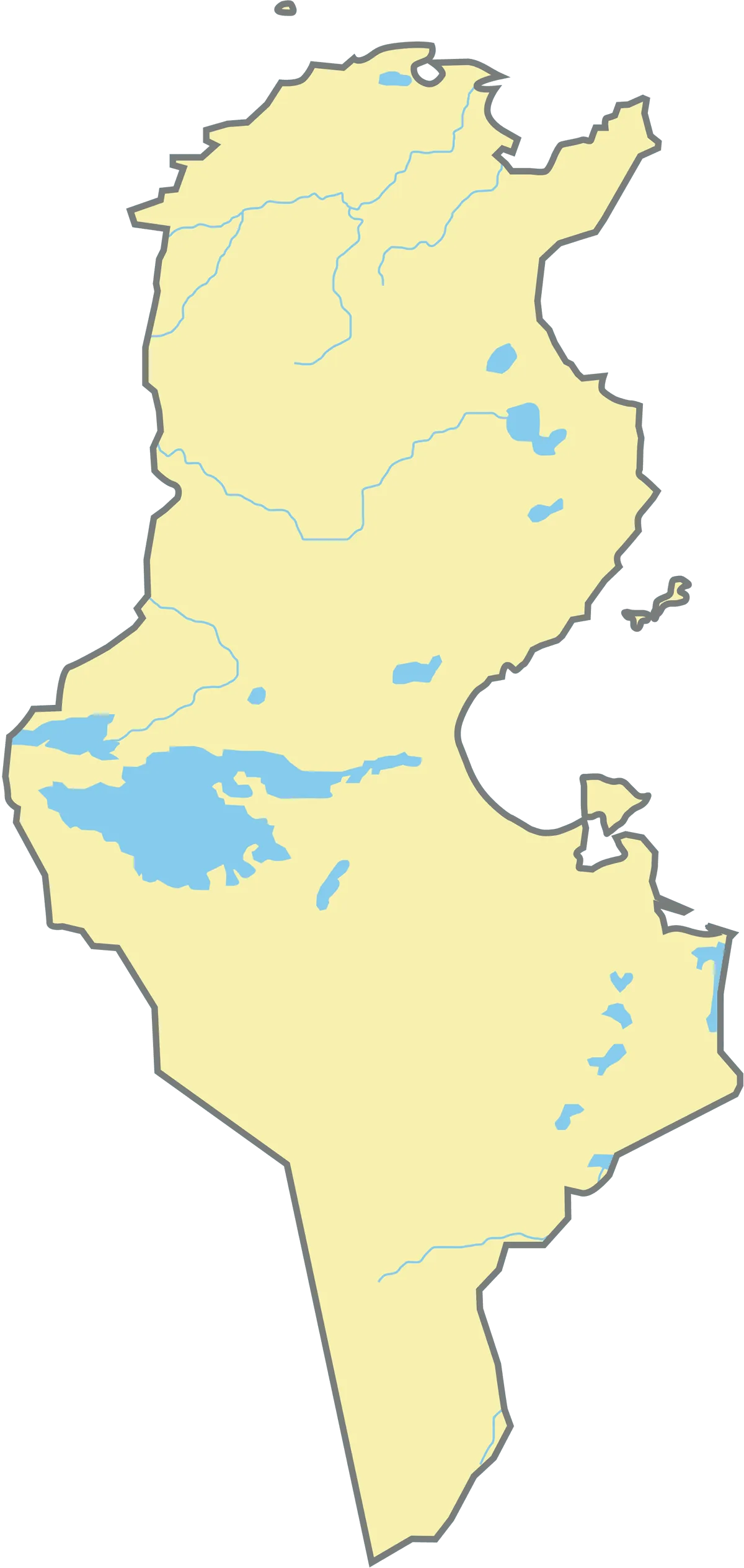
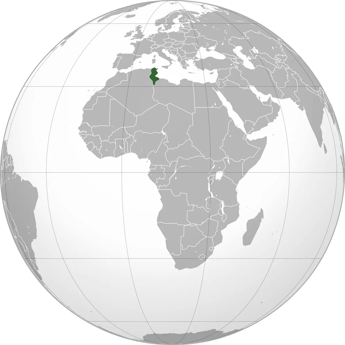
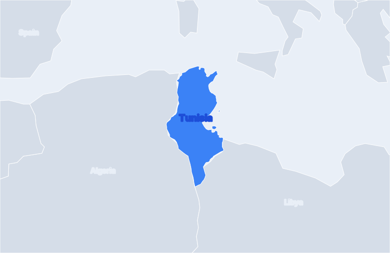
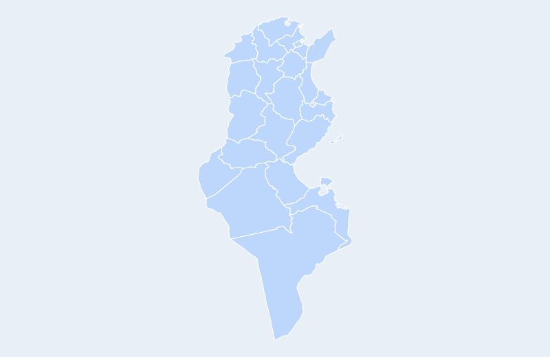
Tunisia is located in North Africa. Below you can see where Tunisia sits on the map, its national outline, and an interactive map you can pan and zoom, centered on the capital, Tunis.
Loading interactive map of Tunisia…
Map data © OpenStreetMap contributors
Administrative divisions of Tunisia
Tunisia is divided into 23 governorates.
Show all 23 governorates
- Béja
- Ben Arous (Tunis Sud)
- Bizerte
- Gabès
- Gafsa
- Jendouba
- Kairouan
- Kassérine
- Kebili
- Le Kef
- Mahdia
- Manubah
- Médenine
- Monastir
- Nabeul
- Sfax
- Sidi Bou Zid
- Siliana
- Sousse
- Tataouine
- Tozeur
- Tunis
- Zaghouan
Administrative boundaries and names from Natural Earth (public domain); they may lag recent reorganizations.
Geography of Tunisia
- Continent
- Africa
- Region
- North Africa
- Area
- 163,610 km²
- Coordinates
- 33.89, 9.54
- Highest point
- Jebel ech Chambi (1,544 m)
- Land borders
- 2
Bordering countries: Algeria, Libya.