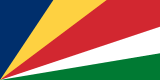
Map of the Seychelles
Republic of Seychelles
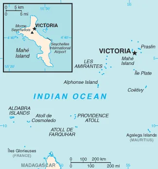
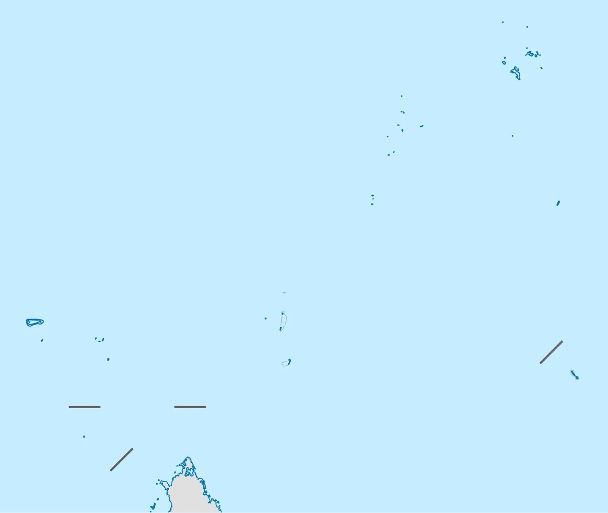
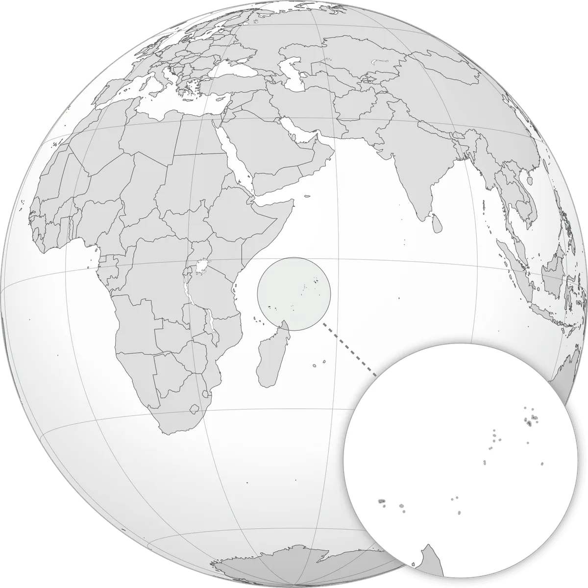
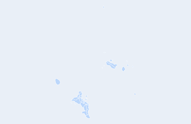
The Seychelles is located in East Africa. Below you can see where the Seychelles sits on the map, its national outline, and an interactive map you can pan and zoom, centered on the capital, Victoria.
Loading interactive map of Seychelles…
Map data © OpenStreetMap contributors
Administrative divisions of the Seychelles
The Seychelles is divided into 26 first-level administrative divisions (25 shown on the map above — outlying territories are omitted).
Show all 26 first-level administrative divisions
- Anse aux Pins
- Anse Boileau
- Anse Etoile
- Anse Royale
- Au Cap
- Baie Lazare
- Baie Sainte Anne
- Beau Vallon
- Bel Air
- Bel Ombre
- Cascade
- English River
- Glacis
- Grand'Anse
- Grand'Anse Praslin
- La Digue and Inner Islands
- Les Mamelles
- Mont Buxton
- Mont Fleuri
- Outer Islands
- Plaisance
- Pointe La Rue
- Port Glaud
- Roche Caïman
- Saint Louis
- Takamaka
Administrative boundaries and names from Natural Earth (public domain); they may lag recent reorganizations.
Where is the Seychelles?
The Seychelles lies in East Africa. Its geographic centre is at about 4.68° S, 55.49° E, and the capital, Victoria, is at 4.62° S, 55.45° E.
With 459 km², it is the smallest of the 54 countries in Africa — about 7.8 times the size of Manhattan (59 km²).
The Seychelles lies entirely in the Southern Hemisphere.
As an island nation, the Seychelles has no land borders. See all island countries.
Geography of the Seychelles
- Continent
- Africa
- Region
- East Africa
- Area
- 459 km²
- Geographic centre
- 4.68° S, 55.49° E
- Capital (Victoria)
- 4.62° S, 55.45° E
- Size rank in Africa
- 54 of 54
- Highest point
- Morne Seychellois (905 m)
- Land borders
- None (island / coastal)