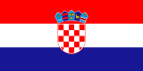
Map of Croatia
Republic of Croatia
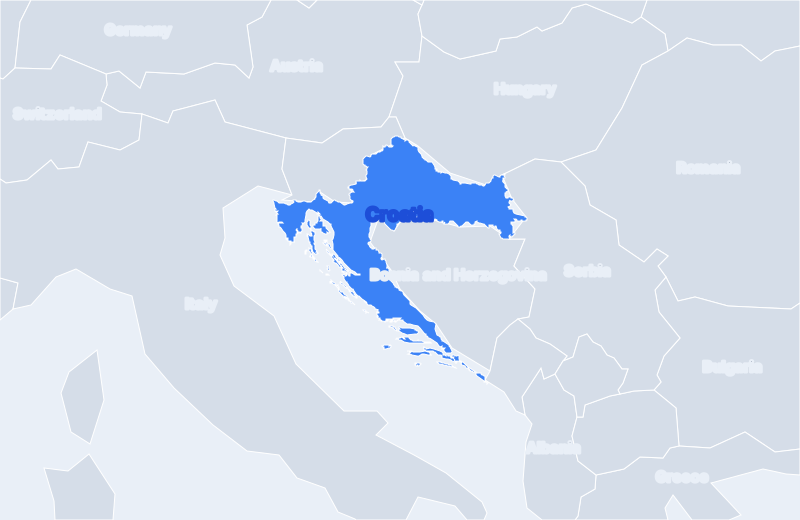
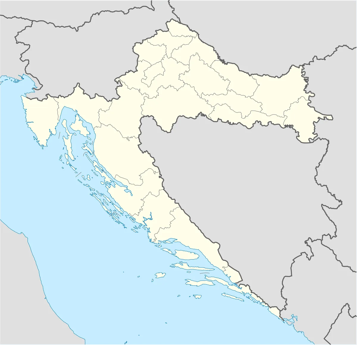
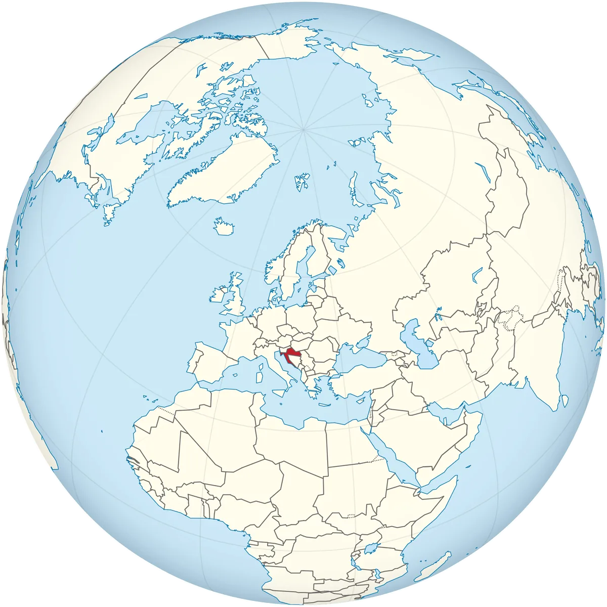
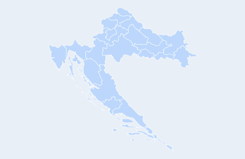
Croatia is located in Southern Europe. Below you can see where Croatia sits on the map, its national outline, and an interactive map you can pan and zoom, centered on the capital, Zagreb.
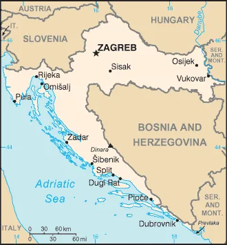
Loading interactive map of Croatia…
Map data © OpenStreetMap contributors
Administrative divisions of Croatia
Croatia is divided into 21 counties.
Show all 21 counties
- Bjelovarsko-bilogorska
- Brodsko-Posavska
- Dubrovacko-Neretvanska
- Grad Zagreb
- Istarska
- Karlovacka
- Koprivničko-Križevačka
- Krapinsko-Zagorska
- Licko-Senjska
- Medimurska
- Osjecko-Baranjska
- Primorsko-Goranska
- Šibensko-Kninska
- Sisacko-Moslavacka
- Splitsko-Dalmatinska
- Varaždinska
- Viroviticko-Podravska
- Vukovarsko-Srijemska
- Zadarska
- Zagrebacka
Administrative boundaries and names from Natural Earth (public domain); they may lag recent reorganizations.
Where is Croatia?
Croatia lies in Southern Europe. Its geographic centre is at about 45.10° N, 15.20° E, and the capital, Zagreb, is at 45.81° N, 15.98° E.
With 56,594 km², it is the 27th-largest of the 47 countries in Europe — about 23% of the size of the United Kingdom.
Croatia lies entirely in the Northern Hemisphere.
Neighbouring countries: Slovenia, Hungary, Serbia, Bosnia and Herzegovina, Montenegro.
Geography of Croatia
- Continent
- Europe
- Region
- Southern Europe
- Area
- 56,594 km²
- Geographic centre
- 45.10° N, 15.20° E
- Capital (Zagreb)
- 45.81° N, 15.98° E
- Size rank in Europe
- 27 of 47
- Highest point
- Dinara (1,831 m)
- Land borders
- 5
Bordering countries: Slovenia, Hungary, Serbia, Bosnia and Herzegovina, Montenegro.