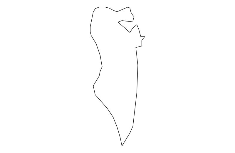
Map of Bahrain
Kingdom of Bahrain
Bahrain is located in Western Asia. Below you can see where Bahrain sits on the map, its national outline, and an interactive map you can pan and zoom, centered on the capital, Manama.


Loading interactive map of Bahrain…
Map data © OpenStreetMap contributors
Administrative divisions of Bahrain
Bahrain is divided into 5 governorates.
Show all 5 governorates
- Al Janūbīyah
- Al Manāmah
- Al Muḩarraq
- Al Wusţá
- Ash Shamālīyah
Administrative boundaries and names from Natural Earth (public domain); they may lag recent reorganizations.
Download printable maps of Bahrain
Vector maps that print sharply at any size — for school projects, worksheets or presentations.
- Blank outline mapPrintable, black on white · SVG · 1 KB
- Political map with neighboursSVG · 3 KB
- Map of the governoratesSVG · 2 KB
Drawn from Natural Earth data, which is in the public domain: free to use, no credit required.
Where is Bahrain?
Bahrain lies in Western Asia. Its geographic centre is at about 26.07° N, 50.55° E, and the capital, Manama, is at 26.22° N, 50.58° E.
With 765 km², it is the 44th-largest of the 46 countries in Asia — about 13 times the size of Manhattan (59 km²).
Bahrain lies entirely in the Northern Hemisphere.
As an island nation, Bahrain has no land borders. See all island countries.
Geography of Bahrain
- Continent
- Asia
- Region
- Western Asia
- Area
- 765 km²
- Geographic centre
- 26.07° N, 50.55° E
- Capital (Manama)
- 26.22° N, 50.58° E
- Size rank in Asia
- 44 of 46
- Highest point
- Jabal ad Dukhan (134 m)
- Land borders
- None (island / coastal)