Map of Brazil
Federative Republic of Brazil
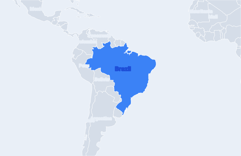
Brazil is located in South America. Below you can see where Brazil sits on the map, its national outline, and an interactive map you can pan and zoom, centered on the capital, Brasília.
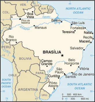
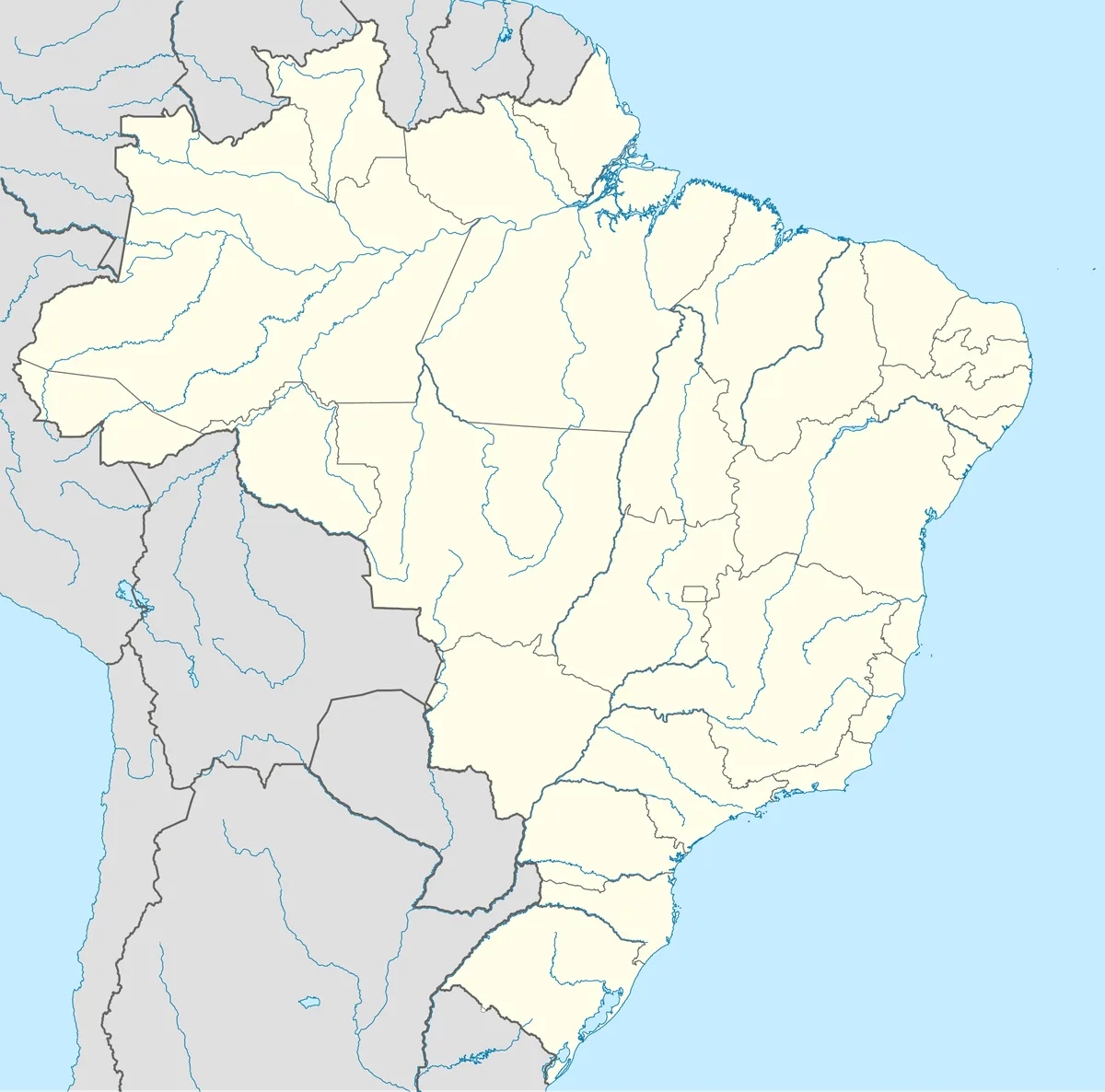
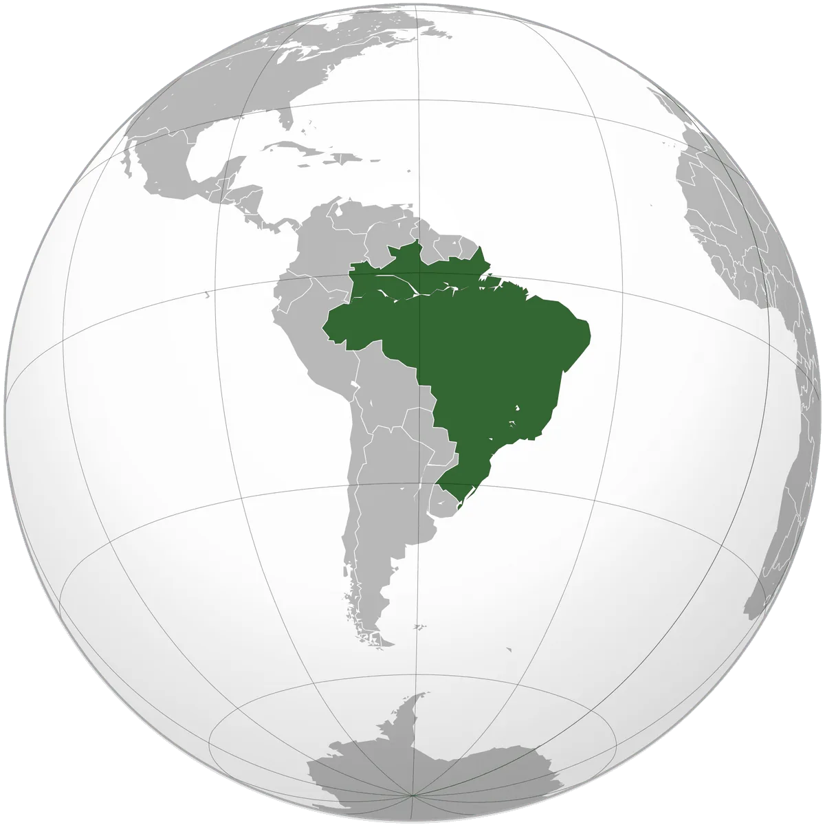
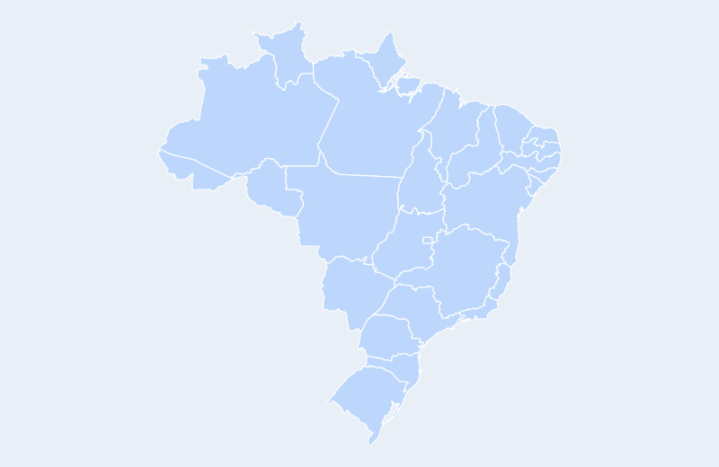
Loading interactive map of Brazil…
Map data © OpenStreetMap contributors
Administrative divisions of Brazil
Brazil is divided into 27 states.
Show all 27 states
- Acre
- Alagoas
- Amapá
- Amazonas
- Bahia
- Ceará
- Distrito Federal
- Espírito Santo
- Goiás
- Maranhão
- Mato Grosso
- Mato Grosso do Sul
- Minas Gerais
- Pará
- Paraíba
- Paraná
- Pernambuco
- Piauí
- Rio de Janeiro
- Rio Grande do Norte
- Rio Grande do Sul
- Rondônia
- Roraima
- Santa Catarina
- São Paulo
- Sergipe
- Tocantins
Administrative boundaries and names from Natural Earth (public domain); they may lag recent reorganizations.
Where is Brazil?
Brazil lies in South America. Its geographic centre is at about 14.24° S, 51.93° W, and the capital, Brasília, is at 15.79° S, 47.88° W.
With 8,515,767 km², it is the 3rd-largest of the 35 countries in the Americas — about 35 times the size of the United Kingdom.
The equator crosses Brazil for about 2,215 km, so it lies in both the Northern and Southern Hemispheres — see the equator map.
Neighbouring countries: Venezuela, Guyana, Suriname, France, Colombia, Peru, Bolivia, Paraguay, Argentina, Uruguay.
Geography of Brazil
- Continent
- Americas
- Region
- South America
- Area
- 8,515,767 km²
- Geographic centre
- 14.24° S, 51.93° W
- Capital (Brasília)
- 15.79° S, 47.88° W
- Size rank in the Americas
- 3 of 35
- Highest point
- Pico da Neblina (2,994 m)
- Land borders
- 10
Bordering countries: Venezuela, Guyana, Suriname, France (French Guiana), Colombia, Peru, Bolivia, Paraguay, Argentina, Uruguay.