Map of Guinea-Bissau
Republic of Guinea-Bissau
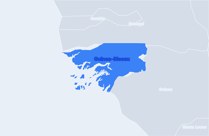
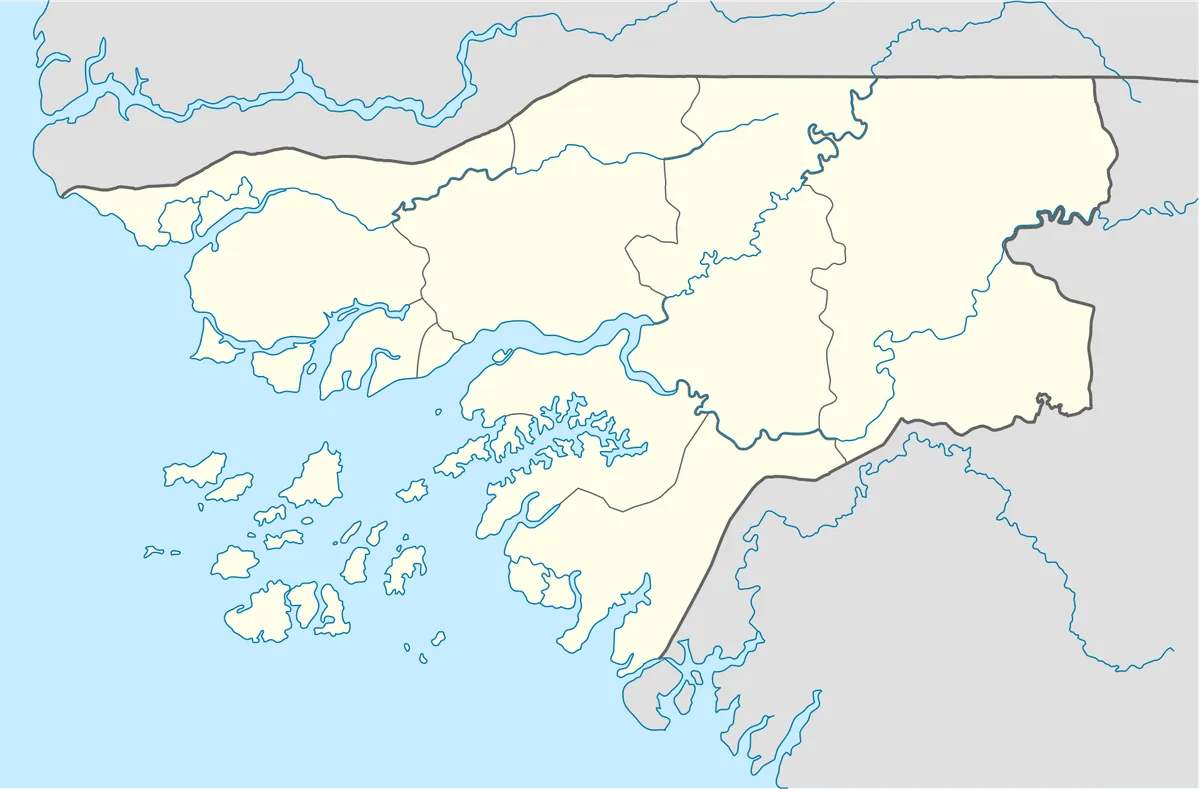
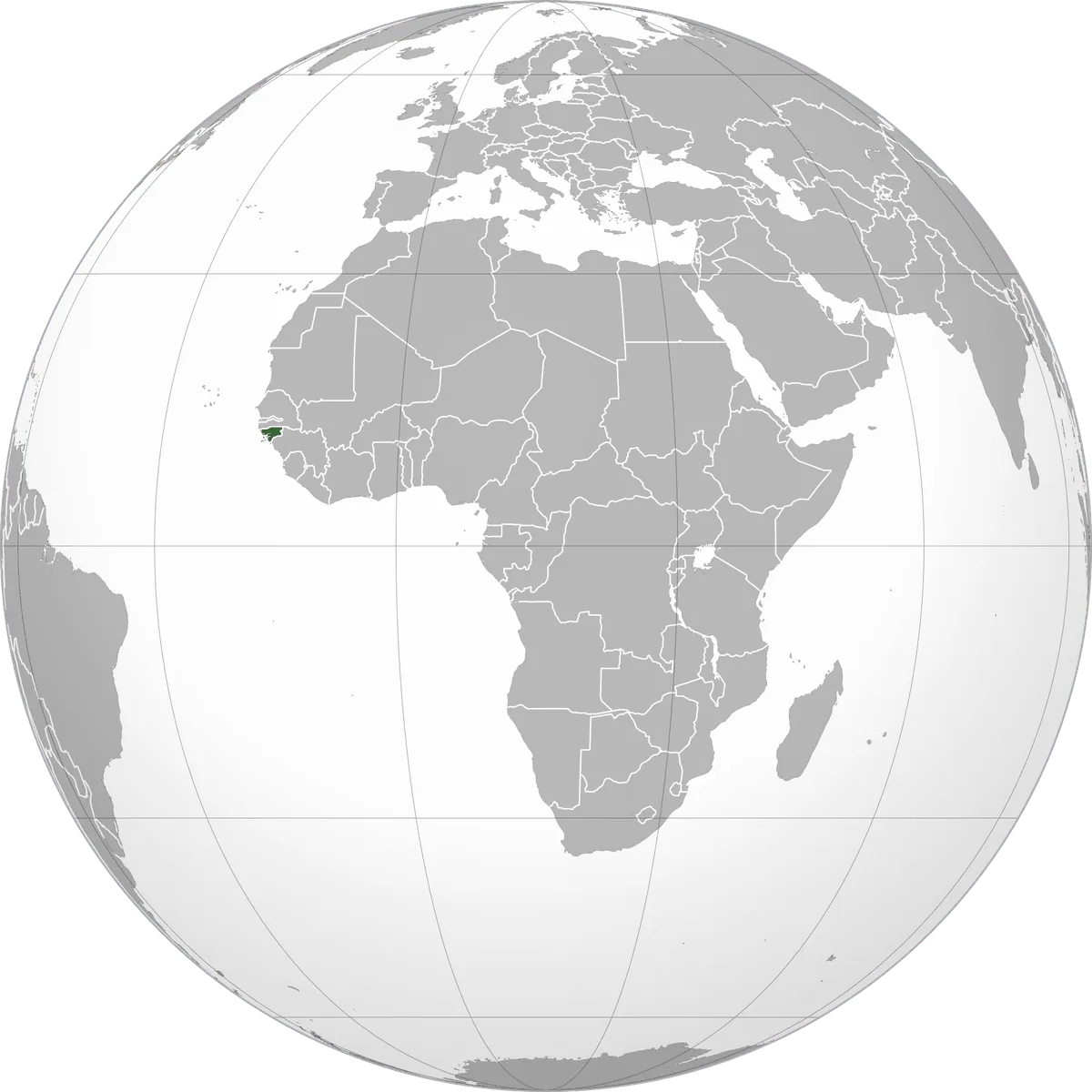
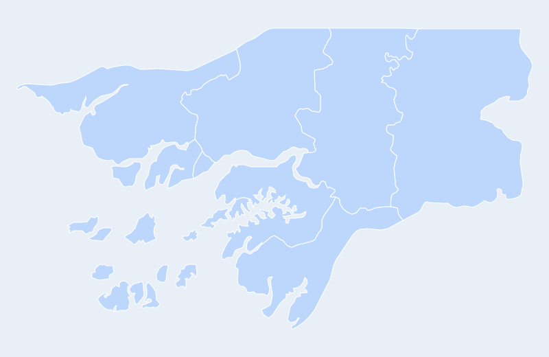
Guinea-Bissau is located in West Africa. Below you can see where Guinea-Bissau sits on the map, its national outline, and an interactive map you can pan and zoom, centered on the capital, Bissau.
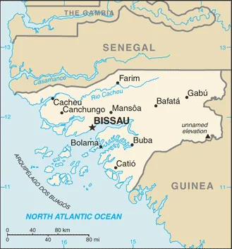
Loading interactive map of Guinea-Bissau…
Map data © OpenStreetMap contributors
Administrative divisions of Guinea-Bissau
Guinea-Bissau is divided into 9 regions.
Show all 9 regions
- Bafatá
- Biombo
- Bissau
- Bolama
- Cacheu
- Gabú
- Oio
- Quinara
- Tombali
Administrative boundaries and names from Natural Earth (public domain); they may lag recent reorganizations.
Where is Guinea-Bissau?
Guinea-Bissau lies in West Africa. Its geographic centre is at about 11.80° N, 15.18° W, and the capital, Bissau, is at 11.86° N, 15.58° W.
With 36,125 km², it is the 42nd-largest of the 54 countries in Africa — about 15% of the size of the United Kingdom.
Guinea-Bissau lies entirely in the Northern Hemisphere.
Geography of Guinea-Bissau
- Continent
- Africa
- Region
- West Africa
- Area
- 36,125 km²
- Geographic centre
- 11.80° N, 15.18° W
- Capital (Bissau)
- 11.86° N, 15.58° W
- Size rank in Africa
- 42 of 54
- Highest point
- Unnamed hill (300 m)
- Land borders
- 2
Bordering countries: Senegal, Guinea.